Can you say "Szlak Orlich Gniazd"?
⬅ previous ⬆intro next ➡Day 7 ~ 4 July ~ Podzamcze to Olkusz
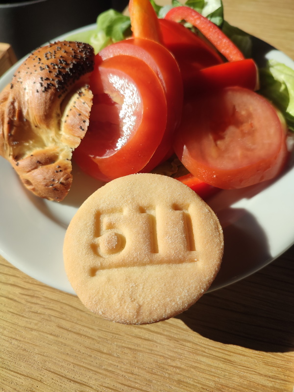
Goodness, they even have their own special biccies at breakfast.
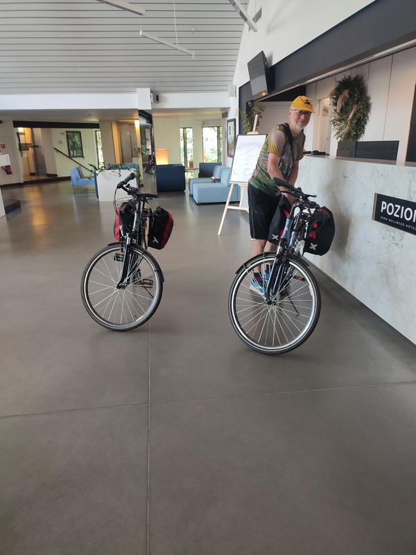
Time to settle the bill and hit the road.
Looking at my Currensea notification, we paid £265.17 for two excellent dinners (with plenty of wine) plus the three bottles we bought to take with us. That's got to be a bargain by anyone's standards. Ok, not if your standards are McDonalds and Special Brew, ok, I'll grant you that, but it is if you have standards.
Oh, yeah, having mentioned Currensea, let me give them a plug. https://www.currensea.com. It's basically a debit (not credit) card connected to your home bank account that gives you really good currency conversion rates: the international "money market" rate plus either a small percentage or a fixed fee. We signed up a few years ago and like the company so much we bought (a very small bit of) it. If you're interested, email me so I refer you and we both get ten quid cash! [Apologies if you're a complete stranger who doesn't already know my email address, but I don't need more spam, thanks.]
Anyway, hit the road!
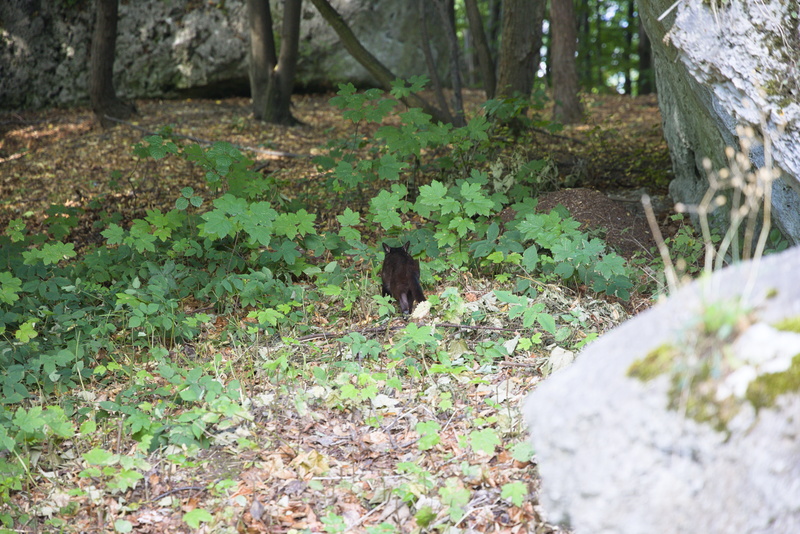
IT'S A CAT!!!
I'm sorry if this is not important to you, but Poland does not seem to be a land full of cats, or at least not ones visible to tourists. This cat is on a mission and is clearly far too busy to pay any attention to us, but we are still please to see him/her. And it's a black cat too: Oberon and Titania would approve.
[Oh, yes, again, if you're not somebody we know personally, you will hardly be aware that Oberon and Titania are our two black cats.]
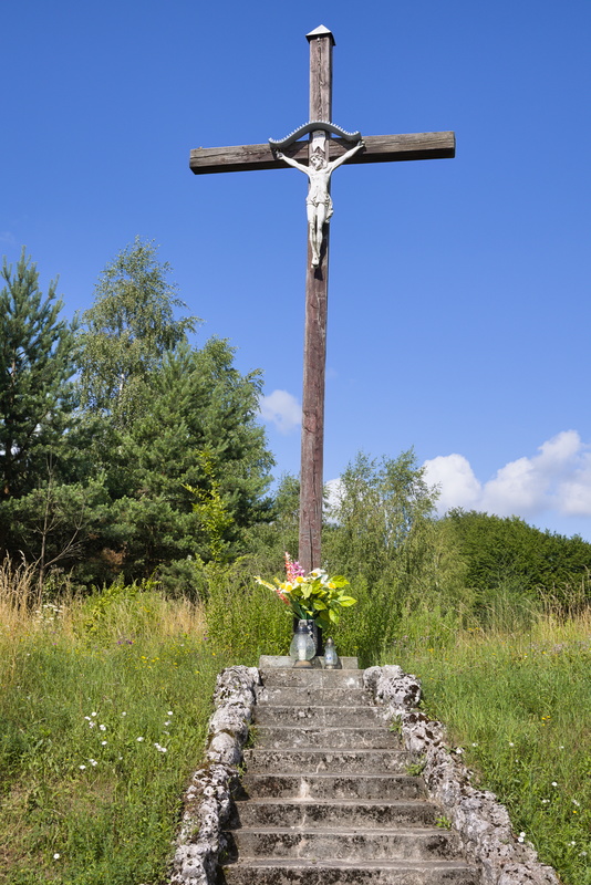
Just outside of town.
The steps are only a few metres leading up from the roadside, but they look like they're trying to give the impression of a stairway to heaven or something... I cannot think of a deeper reference to anything in the lyrics of Led Zeppelin's classic. As we wind on down the road, our shadows are pretty short right now, and there isn't a lady, known or unknown, walking, just one cycling.
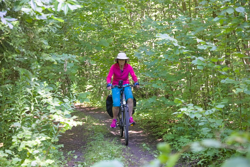
At times, the trail seems a bit unclear, but this is both waymarked and matches our GPX track data, so it's definitely right.
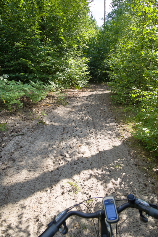
Ok, at this point even I give up trying to cycle. Amanda has already succumbed. My mountain bike at home has 2.8" tyres which I run at fairly low pressure (~40psi/3bar) and would be ok on this sand, but it would still be quite hard work.
But we're not in a hurry, we're not here just to cycle A to B, we're here to have an enjoyable time by bike.
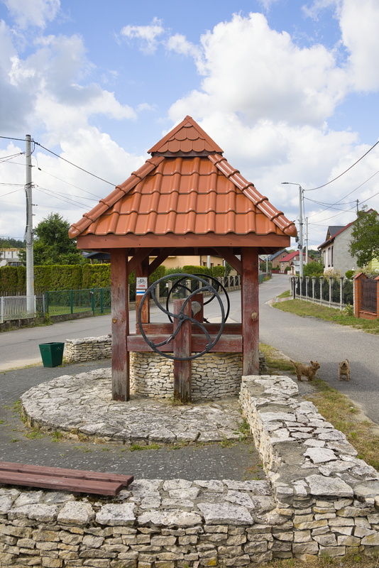
And of course, it's not too long before we exit the woods and pass through another village, just stopping to look at the old wellhouse.
Now, just after this village, our GPX track says to carry straight on but the notes mention another ruined castle a short detour away. Let's do it!
Err... where? Did we miss it? Seems we did. We backtrack and take the not-at-all-roady road... then get off our bikes and walk.
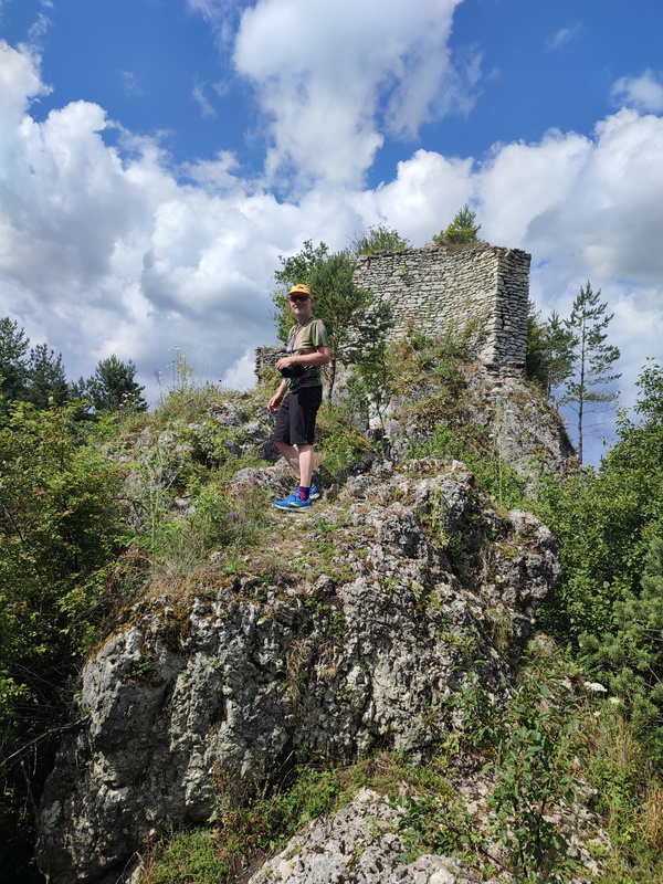
Ok, the Ryczów ruins are not all that exciting after all.
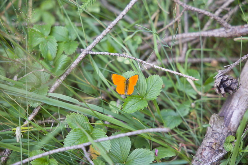
Well there's a pretty butterfly where we parked our bikes. Back to the main route we go.
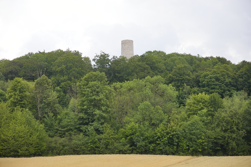
Aha, that there is Pilcza Castle our next destination.
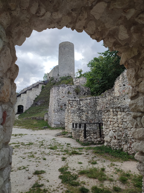
The way in...
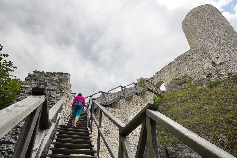
Up to the tower...
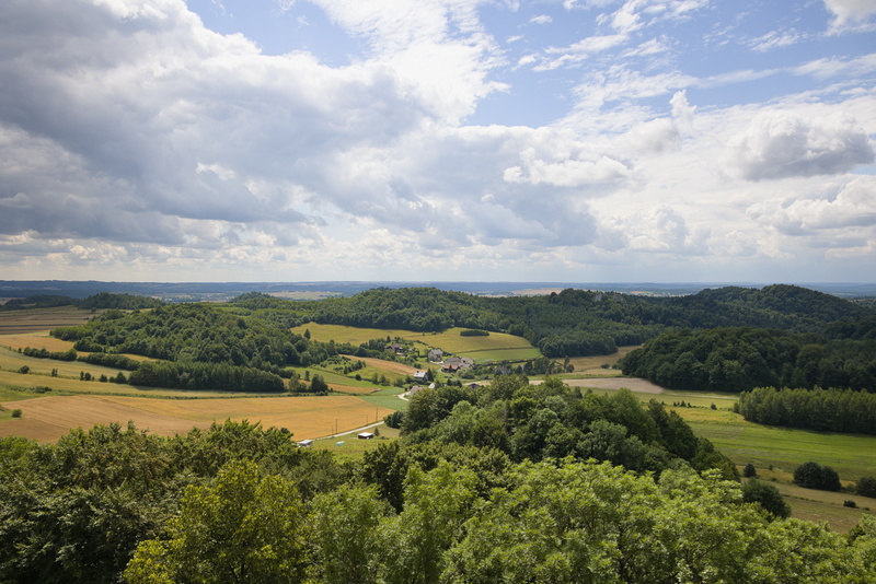
And the view from the top.
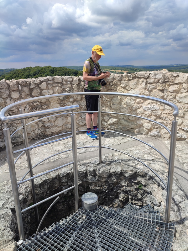
I'm consulting my GPS because Amanda wants to know which way our path ahead is. Eventually I conclude, "It's down there and goes that way but you can't see because of the trees".
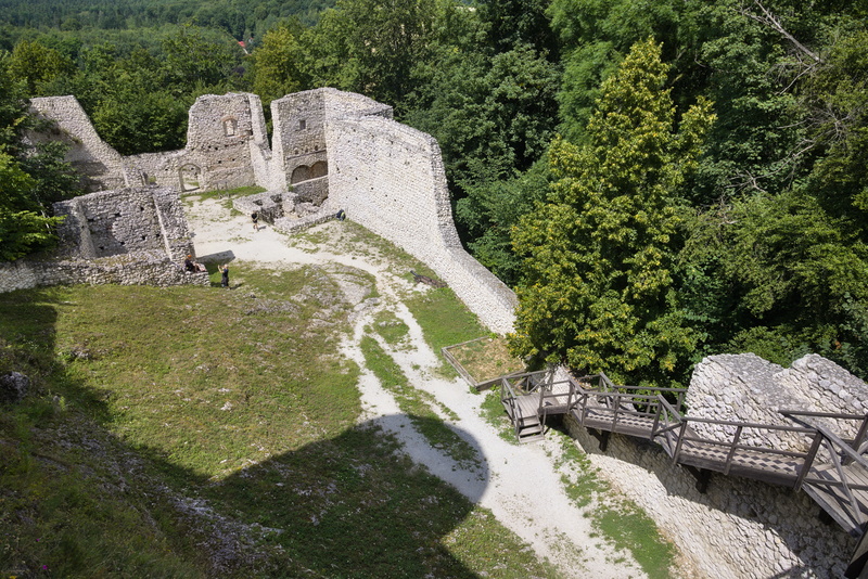
Looking back down from the tower at the remains of the walls.
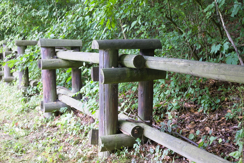
I have a nagging feeling that I took this picture for some deeper reason than "what a curious fence". But I have forgotten it if so, so: "What a curious fence".
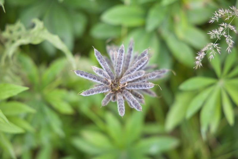
Back in the woods again. I should probably use the plant-ID app to figure out what this is, but I just took the picture 'cos it was pretty.
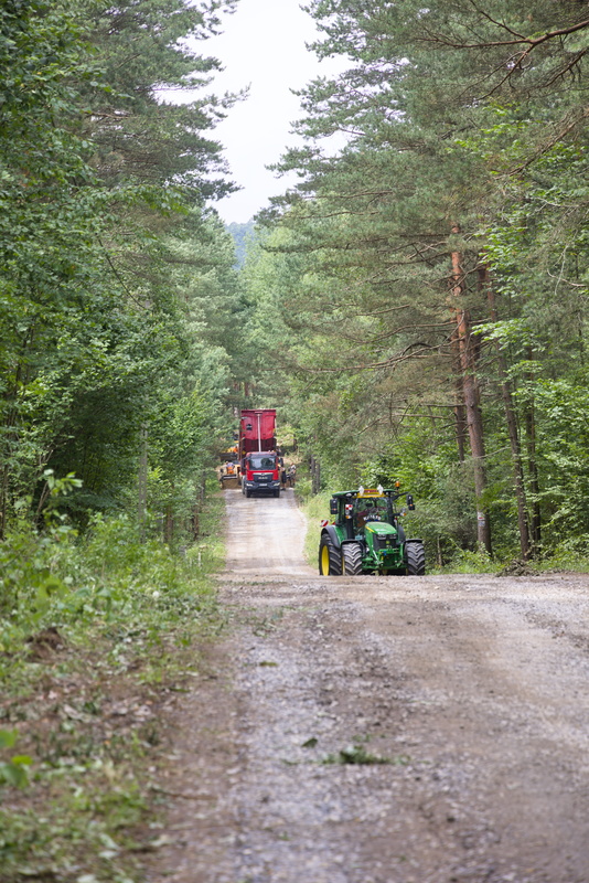
The forest roads are busy!
No problem on our bikes, of course. Just ride past the road works. This picture is actually looking back at the works after doing just that.
Another ruin: Castle Bydlin...
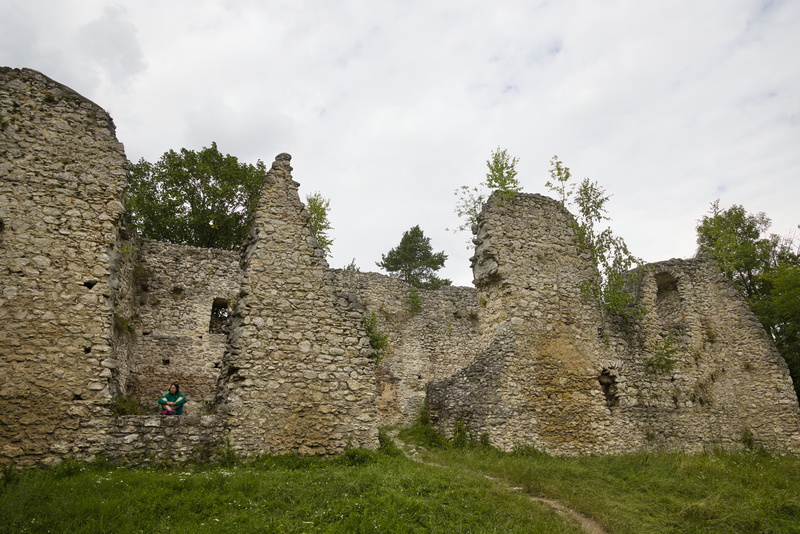
From the outside, there's not much. From the inside, there's less, so I'm not even going to bother with a photo.
But the surrounding area is interesting for some slightly more recent history: it was the scene of a First World War battle. Remnants of the original earthworks can still be seen. and some reconstructions have been done to show how they would have been at the time.
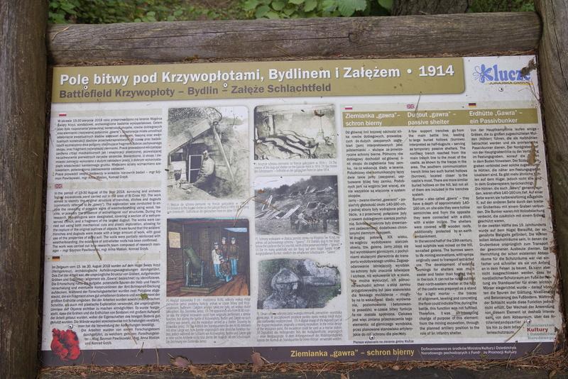
This board explains the site.
The English reads:
In the period of 15-30 August of the year 2018, surveying and archaeological excavations were carried out in the area of St Cross Hill. The work aimed to identify the original structure of trenches, ditches and dugouts (commonly referred to as „gawry”). The exploration was conducted to enable the revealing of possible signs of weatherboarding using wood, fascine, or possibly the presence of anti-shrapnel roof structures. During the research, two polygons were designated, covering a section of a well-preserved trench, and a fragment of the largest dugout. The works were carried out using both mechanical cuts and plastic exploration, allowing for the capture of the original outlines of objects. It was found that the soldiers' trenches and dugouts were made with a large amount of work, with good use of the properties of stony soil. The walls were partially reinforced with weatherboarding, the existence of anti-shelter roofs has been confirmed. The work was carried out by a research team composed of research manager - mgr Szymon Pawlikowski, mgr Anna Maślak, Konrad Grzyb.But „gawry”? What on earth does that mean?
Well, of course we can ignore the Polish-style quotation marks, but that still leaves a word that doesn't actually exist. Looking at the Polish above it, though, we can see the word "gawra" in that place, and there is such a word in Polish. It means a bear's den or winter lair. That kind of makes sense, but how the nonexistent English translation came about I have no idea. The text does have a bit of a Google Translate feel about it, but the present online version doesn't know the Polish word. However, it leaves it unchanged rather than inventing an imaginary modified form. Another mystery...
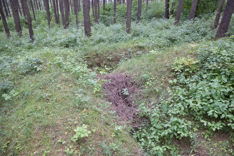
Without the explanation. you wouldn't particularly notice these overgrown trenches.
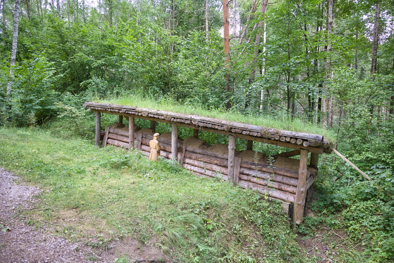
A reconstruction of a 'shooting' trench. This trench was not simply for keeping out of sight of the enemy, the idea was to be protected by the earthworks and the frames while being able to fire over the top.
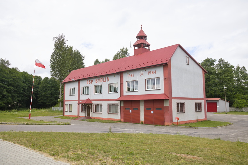
We're getting quite taken by these attractive Polish fire stations. Obviously so are the locals. On Google Maps, there are actually reviews of this place!
"A great place for various types of special events, especially for larger groups. Recommendable"
"The best Volunteer Fire Department in the commune 😎"
We have a fire station at home just a couple of minutes away and I'm sorry to say that Google has no reviews of it at all! On reflection, we could have posted a five-star one in 2016 to praise their rapid and efficient response to the fire in our house, but I guess our minds were on other things.
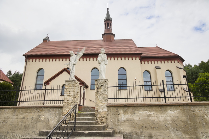
And another interesting little church with statues of angels that seem much more weathered than the building itself.
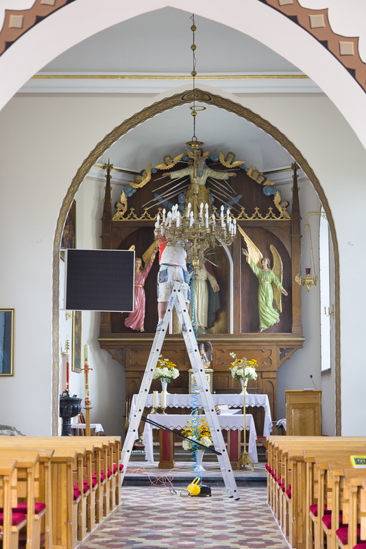
Inside somebody's working on the chandelier. I'm sure there's a joke here about how many angels does it take to change a light bulb, but you'll be pleased to know I haven't thought of it yet.
We're back on the forest roads for a bit now.
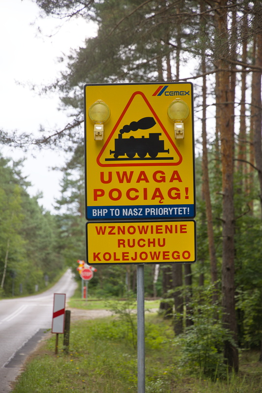
We reach a level crossing with absolutely no barrier or any kind of get whatsoever, just a sign which Google tells me reads,
ATTENTION
TRAIN!HEALTH AND SAFETY IS OUR PRIORITY!
RESUMPTION OF
RAILWAY
TRAFFIC
Presumably we deduce from this that a formerly disused railway has been brought back into operation and people need to watch out.
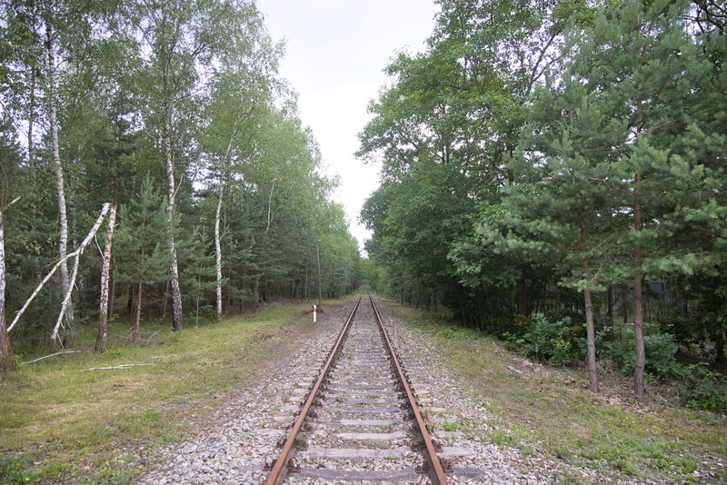
It's not looking too busy right now. We can probably cross in safety.
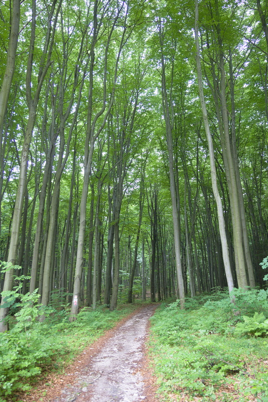
It's getting rather more trail than road now.
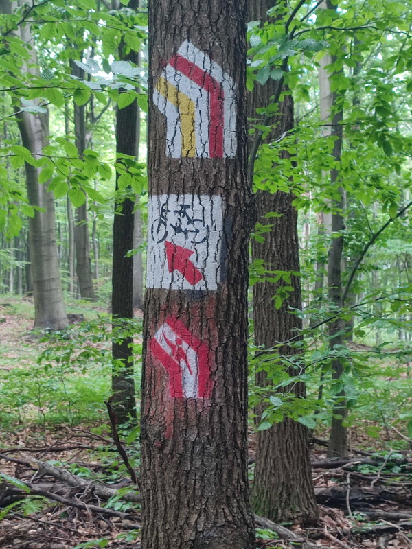
Very traily, but the signs are clear.
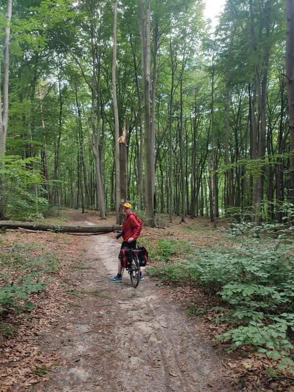
Soft sand now, all but impossible to cycle on in places. Good job we're not in a hurry, and it's a very peaceful place to ride. We haven't seen anyone else on the trail at all.
However, we will later discover that the excellent waymarking that we've been following has in fact led us astray! Because it's been so clear, we've not been checking our GPX tracks so much as we did at first. Seems we should have turned right back at the level crossing, not continued straight as we did. We can see another cycle path on the map and a little searching reveals that "Velo Przemsza is a new pedestrian and bicycle trail connecting the main attractions of the Olkusz district"
But like I said, we're not in a hurry.
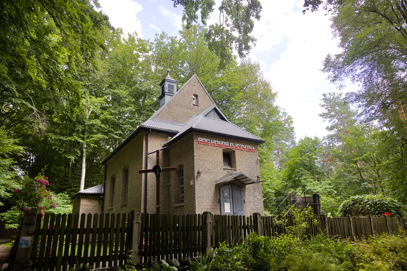
Eventually we pop out at yet another little church. The sign reads "BOG HONOR OJCZYZNA" which is apparently an unofficial national motto of Poland, meaning "God, Honor, Fatherland" Wikipedia has more.
We've now got around 3km on road to meet up with our intended route again.
A major feature of the area is the inland Błędów "desert", 32 km² of sand. It's technically not a desert by formal definition, as its average precipitation is over three times the threshold of 250mm/year, but as a region of mostly pure sand it's definitely in line with the informal everyday notion. It's entirely the result of human activity, though. The underlying sand was laid down by glacial activity in the last Ice Age, but dense forest had subsequently grown. Clearance for mining works and groundwater extraction beginning in the 13th century lowered the water table and rendered the area unable to support plant life, exposing the sand. At its peak this area spanned around 150 km² but later much of the forest grew back.
Despite some deliberate reversal in the mid-2010s, this regrowth is continuing.
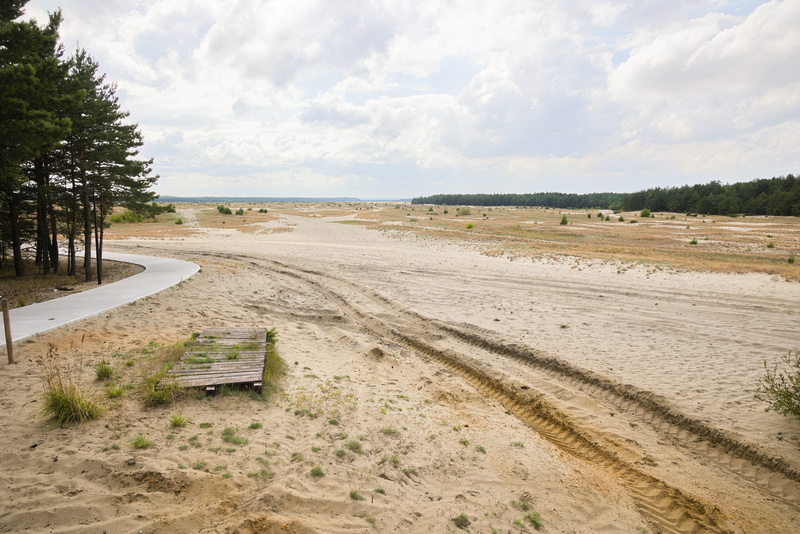
As we come out of the forest, this is what we see.
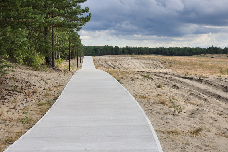
This pristine cycle/pedestrian path is clearly brand new. It will shortly become even clearer when we reach the end where it's still being constructed.
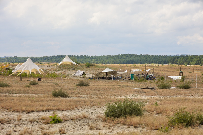
We guess that the people under these awnings are some kind of scientists: geologists/botanists/whatever. They don't look like they're just campers, nor trying to kick-start a Polish version of Burning Man. You can clearly see here how grass and scrubby bushes are starting to reclaim the land with more pine forest in the distance.
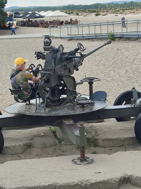
Goodness! Stevie's found a toy!
It's not obvious why this gun is here, but all of the mechanical controls are working so you can rotate it and take aim at whatever you feel might be worthy of a few rounds of high explosive. There's a sign...
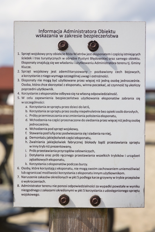
Ok, that doesn't tell us much...
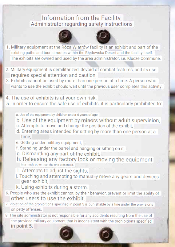
Thanks, Google Lens. Don't quite know what's with that weird jumping around in size, but it's nice and legible and mostly comprehensible.
But it still doesn't tell us much.
So where the gun came from, what calibre it might be, what its intended targets would have been? None of this could I reveal were it not for the fortunate fact that more militarily knowledgeable folk than I have been here before. A quick search finds some pictures on Flickr describing it as a "37mm M1939 AA gun", this being an anti-aircraft gun developed by the Soviet Union during the late 1930s and used during World War II.
Now that I know that, Wikipedia naturally has all you could ask for about it, including the fact that a great many of the world's armies still seem to be using it.
Enough of a digression into anti-aircraft weapons randomly placed in (not exactly) deserts: more castles await!
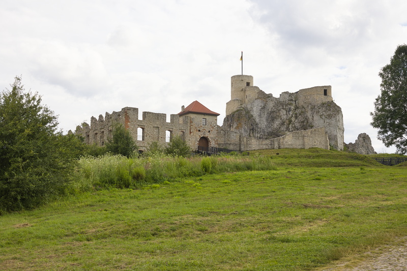
As we approach Castle Rabsztyn, we're a touch concerned it might not be open, looking at that obviously closed gate.
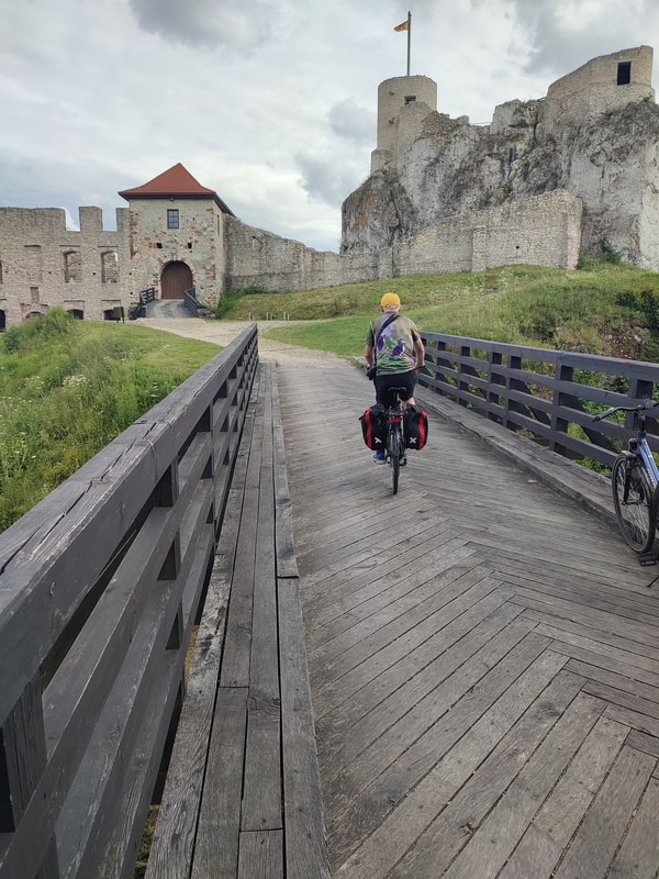
Closer up, though, we realise that the actual entrance is no longer through the main gate, but one of the little doors you can just see below and to the left.
It's getting a bit late in the day, though, and we're virtually the only tourists here. If they had decided to shut up early, it would have been understandable.
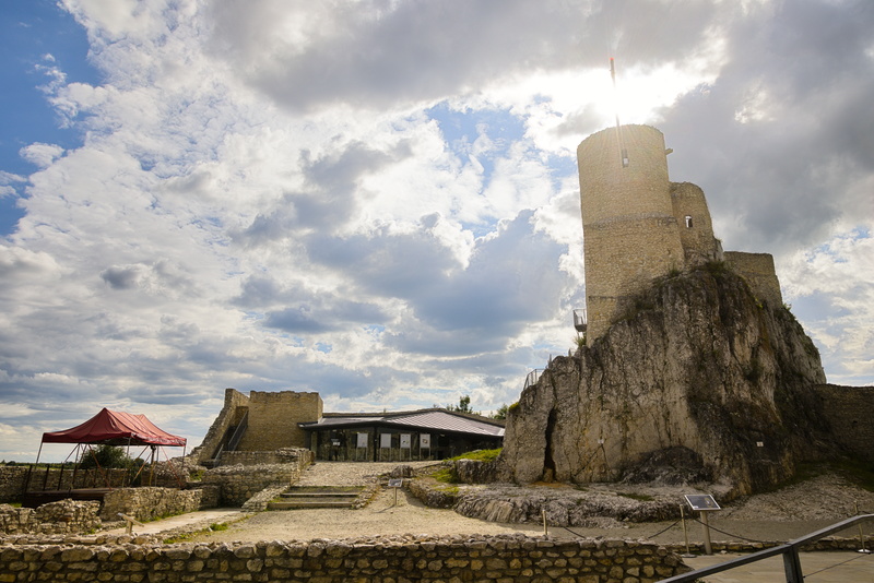
This possibly makes the castle look a bit more dramatic than it objectively warrants. I make no apologies.
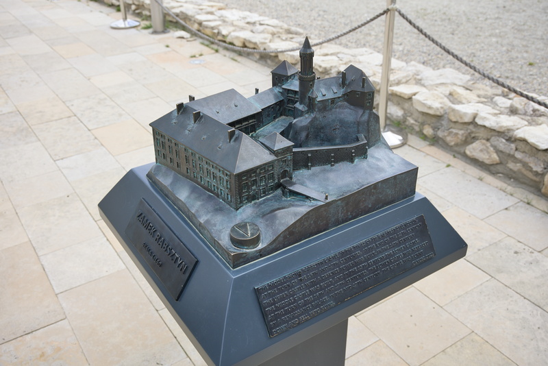
This model shows the castle in its heyday. It's very different now: today is more its hoday.
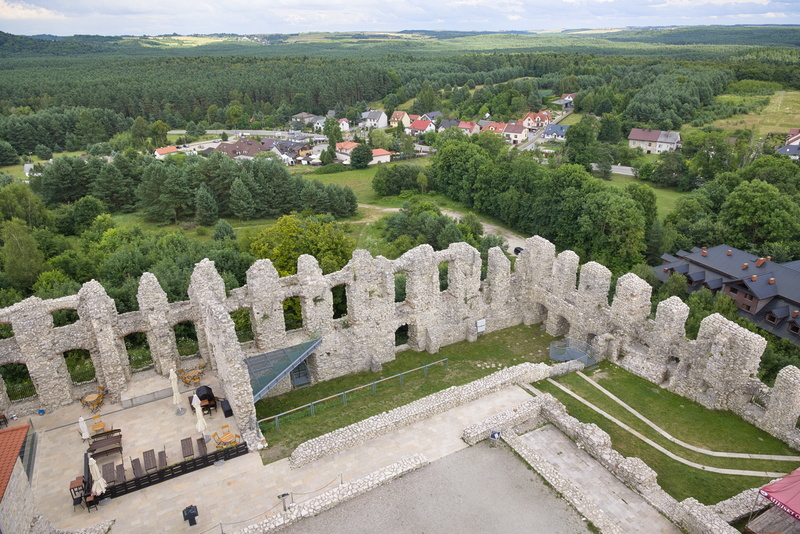
From the top of the tower you can see that most of what's left is now badly eroded.
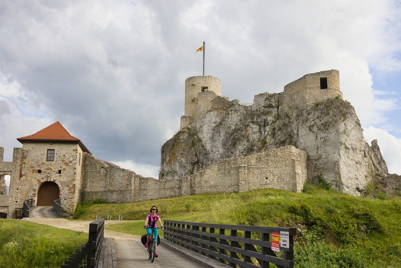
A short but sweet visit.
Not much further now to our hotel for the next couple of days in Olkusz.
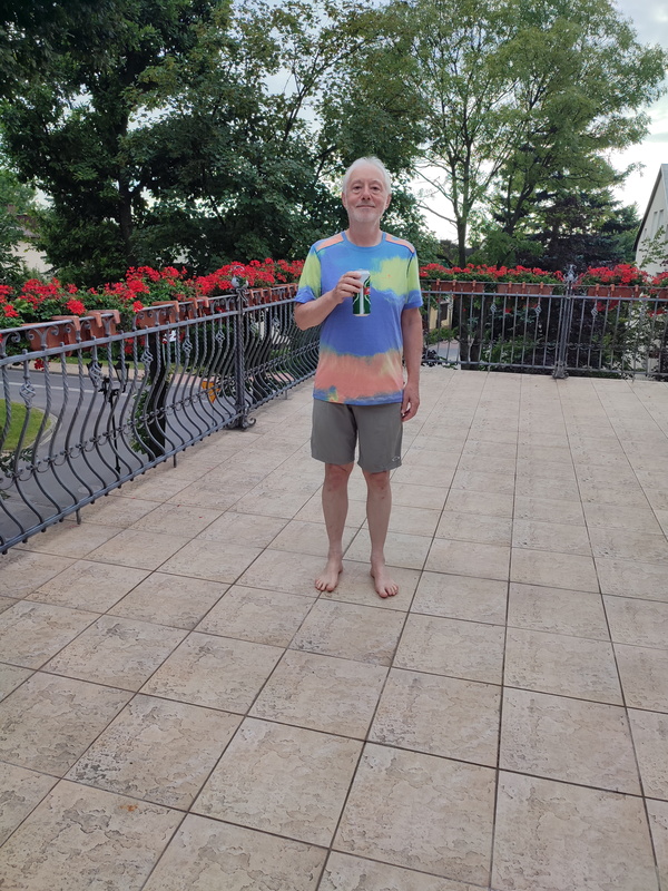
And here we are. We have a shared terrace from our room, but nobody we need to share it with for this evening at least.
⬅ previous ⬆intro next ➡