Not a Cheap Date
⬅ previous ⬆intro next ➡Day 8 ~ Monday 9 September ~ Tresco
Today's plan is to explore a bit more of Tresco in the morning, then get the ferry to St Martins. We were there for the seal snorkelling a couple of days ago but saw nothing of the island itself apart from the beach near the jetty.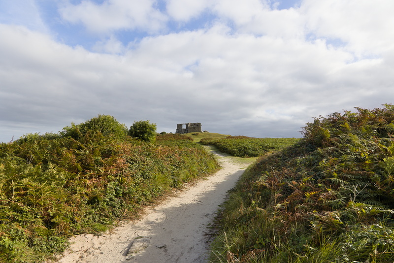
We're on our bikes, but the sand here is loose and not at all bicycle-friendly. Up ahead is a ruin called the "Old Blockhouse".
It's not a particularly exciting ruin, but it does have some history, being built in the mid-1500s to protect against the French.
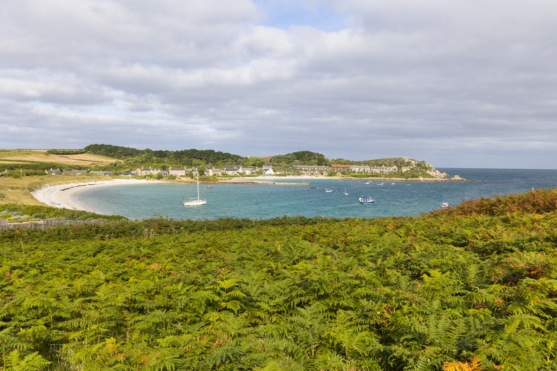
From it, we can look back down to Old Grimsby. New Grimsby, straight across on the Western side of the island (off to the right of this picture) is where most of the island facilities are to be found today, but the old quay is still in regular use and there's nice little restaurant and bar down there.
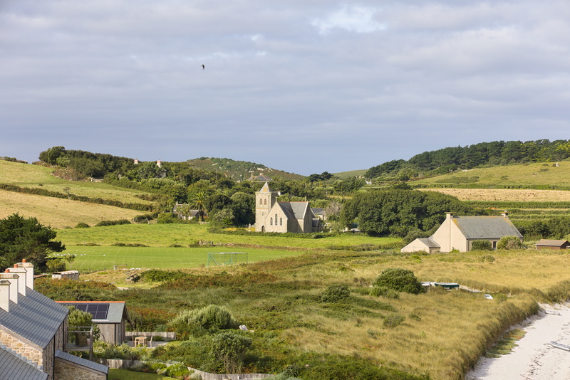
A little inland, you can see St Nicholas' Church, just round the corner from Dolphin Cottage. The cottage itself can just be made out a little to the left if you look closely.
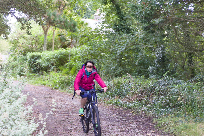
Back on a more cyclable path. We're taking a leisurely ride back round past the Abbey, very much the long way back to New Grimsby.
Although we'll be disembarking at the same point on St Martin's as before, today's boat leaves from the opposite side of Tresco with virtually the whole of the island in the way, making it a much longer journey.
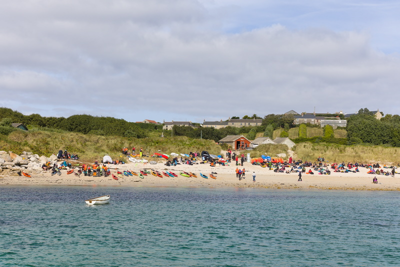
The little reddish hut is the Seal Snorkelling Adventures base, but the beach was almost deserted a couple of days ago. Now we have a veritable army of kayaks. There's obviously some kind of event going on, but it's not clear exactly what.
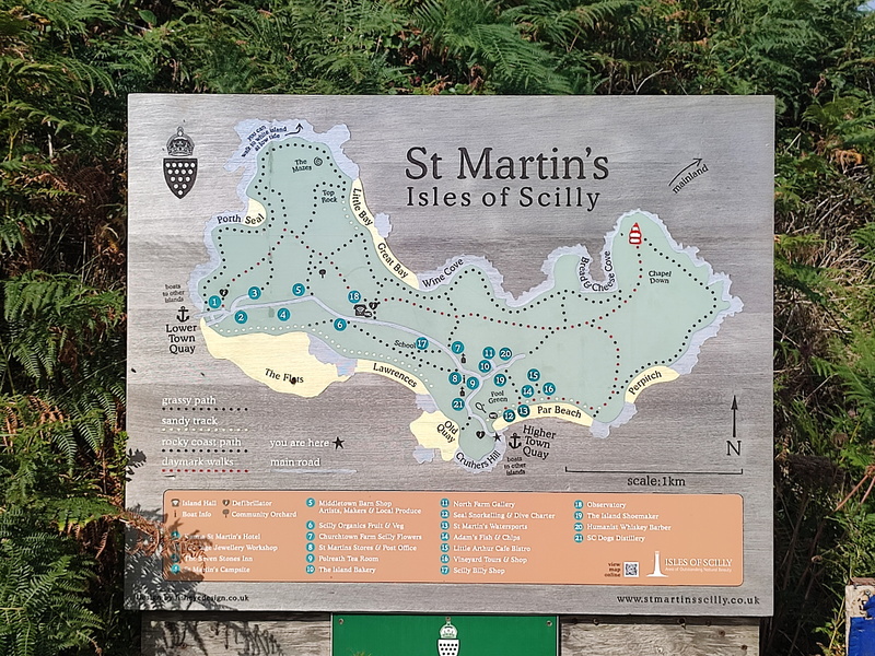
Here we are, then, let's go for a walk.
Our guidebook says that the views from nearby Cruther's Hill are well worth it, but most visitors miss the narrow path from the road. We decide that we shall have to check this out, but the book doesn't make it entirely clear that shortly after joining the narrow path, you have to take an even narrower one. We realise this when we basically run out of island after having descended, not ascended, but retrace our steps and find the correct route easily enough once we know to look.
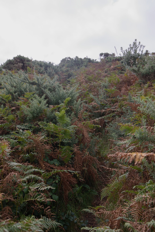
I think we can be forgiven for missing this the first time!
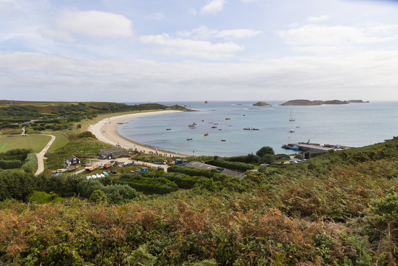
Made it.
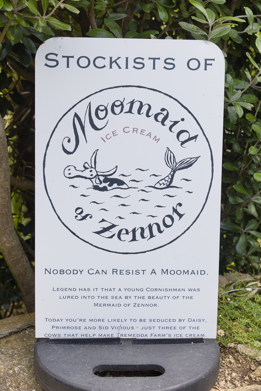
It's a bit chilly for an ice cream, but we do like the sound of a Moomaid.
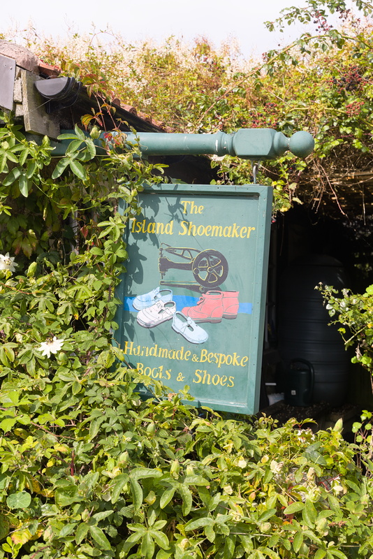
An artisan of a different sort.
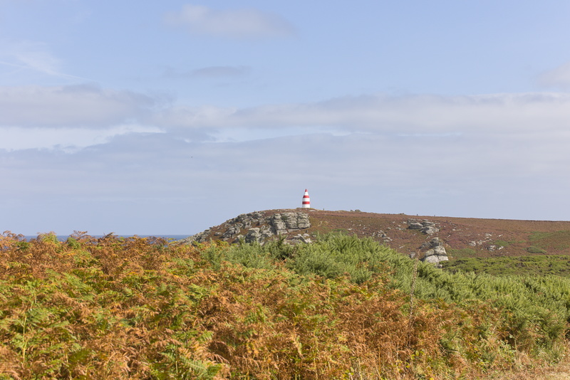
This is not a lighthouse, it's a daymark, another traditional navigational aid for sailors, hence painted in a very visible and distinctive pattern. It was originally built in 1683, the earliest known example of its type, and is now Grade II* listed.
As it happens, if you look up "daymark" on Wikipedia, this very one is pictured.
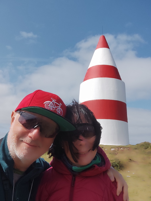
The picture on Wikipedia doesn't have us in it.
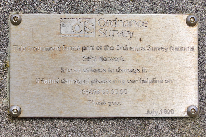
That's interesting. Fixed points with very accurately known locations can be used to calibrate GPS-based systems. The intrinsic accuracy of GPS is limited by a number of factors, but if you calculate the error at a known point, that same error will apply to all measurements made not too far away. You can therefore subtract that error from your own reading to get a much more accurate result. It's called "differential GPS", and Ordnance Survey offer a variety of services to people who need extremely high quality position data, as precise as a few centimetres.
Also in the late 90s, the "General Lighthouse Authorities" of the UK and Ireland created another such network to help navigation in coastal waters, though this was never one of their stations. Technology subsequently improved to the point where pure satellite systems could provide the same level of accuracy - a few metres - directly, so in March 2022, it was switched off.
Another little snippet: there's a traditional trig point nearby, but they are now only retained for historical interest. Quite apart from the fact that they never had modern levels of accuracy in the first place, it's many decades since they were last measured and many will have moved slightly over the years.
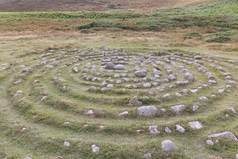
Not exactly Neolithic rock art, but somebody's been creative here.
But wait! We don't know this at the time and the guidebook doesn't mention it, but stone labyrinths like this are a bit of a Scilly thing! Read this fascinating document, The Isles of Scilly Troy Towns by Jeff Saward, which informs us that "The islands are [...] home to the largest collection of stone labyrinths in Britain" and "By far the largest collection [is] to be found on the island of St. Martin’s."
The article further tells us that only one of these stone formations is believed to be of any great antiquity, being the original "Troy Town" on St Agnes. Various dates have been offered for its creation, some of which can only be described as 'speculative', but the most plausible consensus seems to be the 1720s. All others are much newer, including one which can be reliably dated to 1990 because that is when the author himself built it!
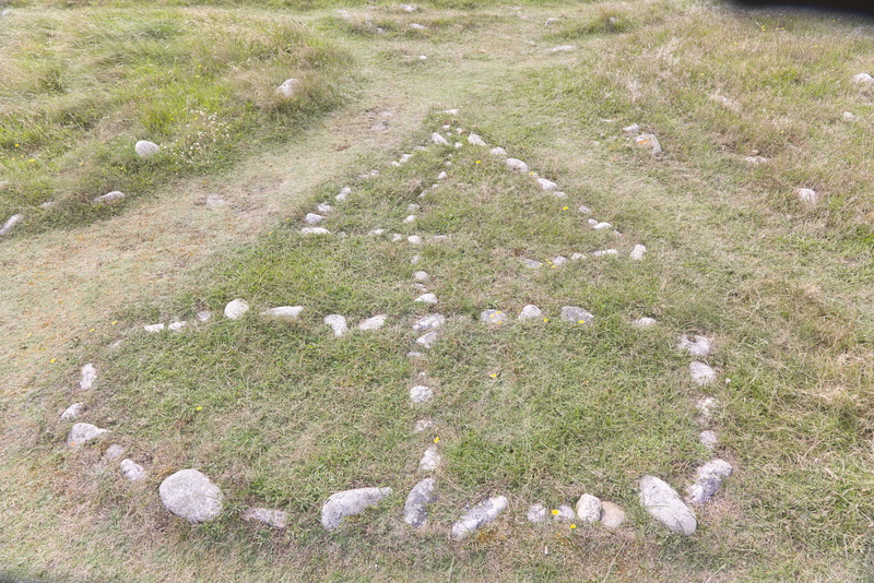
Not just labyrinths and circles, a little sailing boat too.
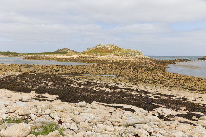
At the northwestern end we look across to what is a separate island when the tide is higher.
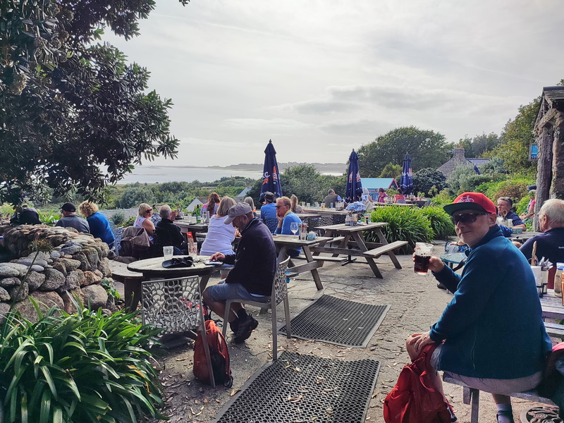
Once again, we do our duty and help out a local business.
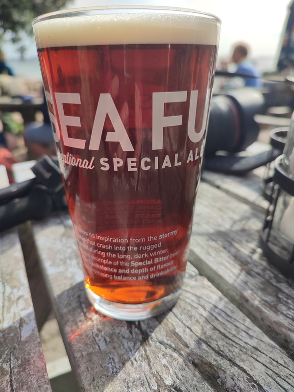
"Sea Fury" is a traditional ale from Sharp's, the Cornish brewery mainly known for "Doom Bar", which has gone from local tipple to national ubiquity in the last decade or two. Supposedly it's now the UK's number one cask ale but in all honesty, I think it's fine but nothing extraordinary. I do like this one, but I don't think I've ever seen it elsewhere: Doom Bar makes up nearly 90% of the company's sales according to Wikipedia.
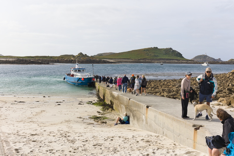
No private taxi back for us this time, we have to take the bus with the common folks.
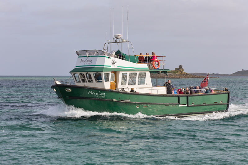
Green sea, green boat.
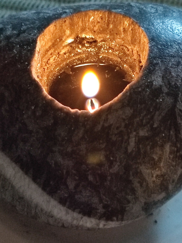
Our 'stone' candle has now melted itself a crater so deep it can barely circulate enough oxygen to keep alight. Time for bed.
⬅ previous ⬆intro next ➡