The Rain in Spain!
⬅ previous ⬆intro next ➡Day 10 (May 17) ~ Toroella de Montgrí
Today will be mostly on foot. We'll ride into town, but then it doesn't look like there are any bike trails up the hills even if we had mountain bikes.
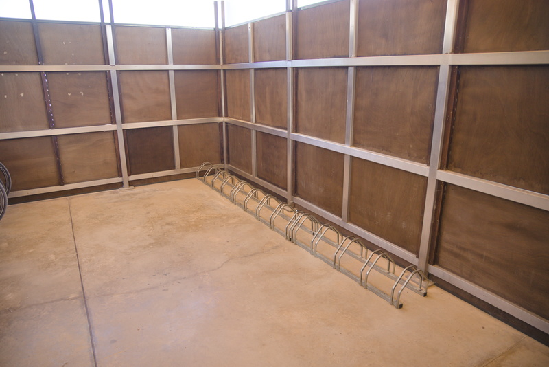
The hotel is well prepared for cyclists with this fine secure bike shed, but as you can see, we don't have any company. The two wheels you can just see on the left are from the hotel's own collection of bikes for hire, and the hire rack is as full as the guest rack is empty.
Lots of cars in the car park, though!
The town is another one with boring modern bits around a more interesting older core, although there's little if anything actually mediaeval left.
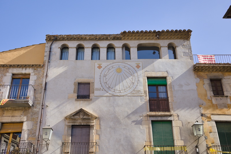
"It's cooler in the shade; let's put the sundial there."
If you mentally slide the shadow line up to the gnomon, it looks like it ought to be about 8am. And the photo metadata says it was taken at 07:53 UTC. Now UTC (Universal Time, Coordinated) is basically the same thing as GMT (Greenwich Mean Time), which itself is basically what a sundial at Greenwich would read. Local civil time here is CEST (Central European Summer Time) which is UTC + 2 hours (ie, one hour ahead of the UK's BST), but the sun pays no attention to that. Here in Toroella, we are only just over three degrees East of Greenwich, so true local solar time is UTC + about 12 minutes. IOW, the sundial should be reading 08:05, so my geometrical thought-experiment turns out to be pretty accurate!
It's one of the curiosities of history how CET is used by countries which are entirely or largely closer to Greenwich than they are to the 15th meridian, the 'natural' line of UTC+1.
In 1725, though, which is the date engraved on the dial, nobody knew or cared anything about that. Everyone used local solar time because there simply wasn't anything else. (Although it was around that time when engineers first started trying to create accurate chronometers for ocean navigation, because if you know the difference between local time and time at point X, you know how far east or west of point X you are).
The modern concept of civil time is almost entirely due to the need to create railway timetables in the nineteenth century. When two towns at the opposite ends of a railway line have local times that differ by ten minutes, and everyone else in between disagrees with both of them and each other, you can see why what was first called "Railway Time" makes sense.
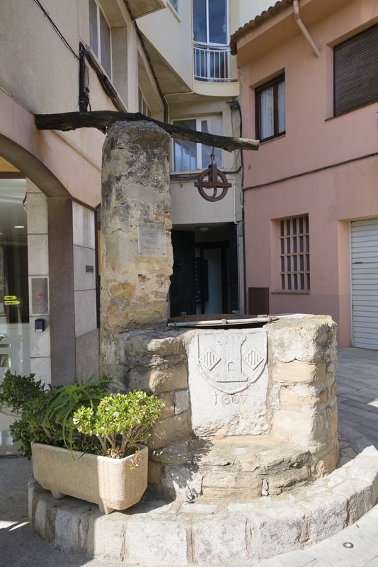
This old well labelled "1607" may be the oldest surviving part of town, certainly that we see.
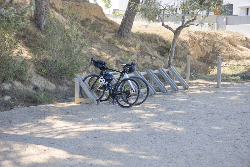
We lock our bikes up at the base of the hill. Once again, we are not struggling to find space in the rack.
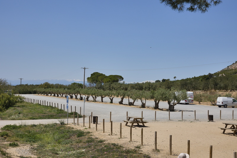
The car park is surprisingly large, although mostly empty. Presumably there must be events which many people attend at times, or maybe the car park was built in anticipation of some project that never materialised.
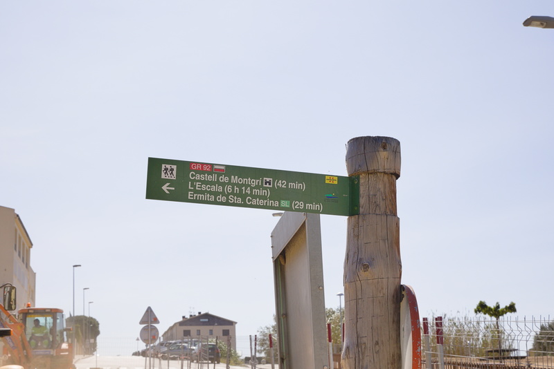
To the castle!
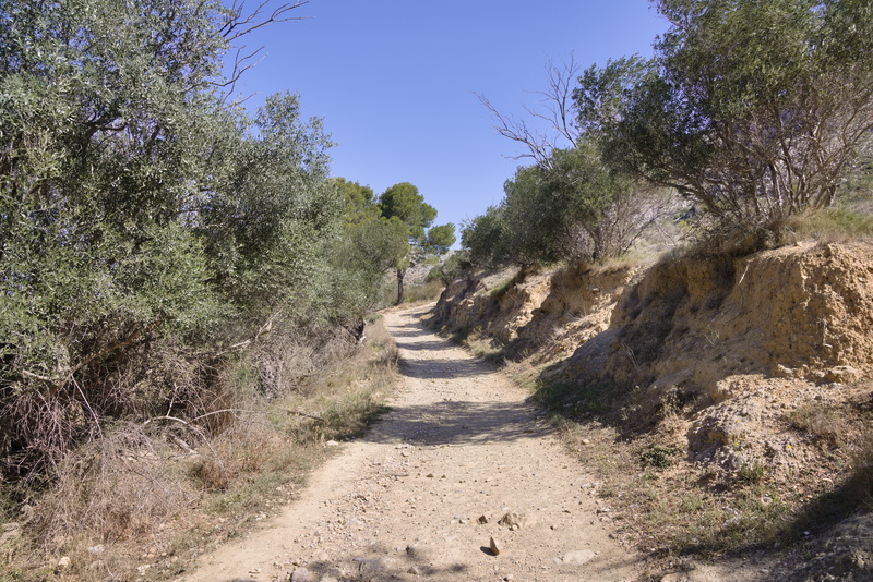
Initially, the path is a good gravel track.
But we have a fair way to go.
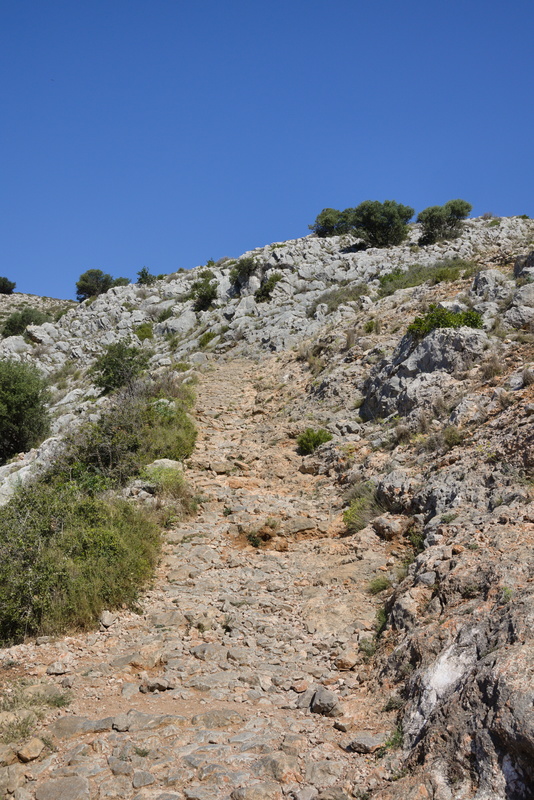
And it gets a lot rougher later.
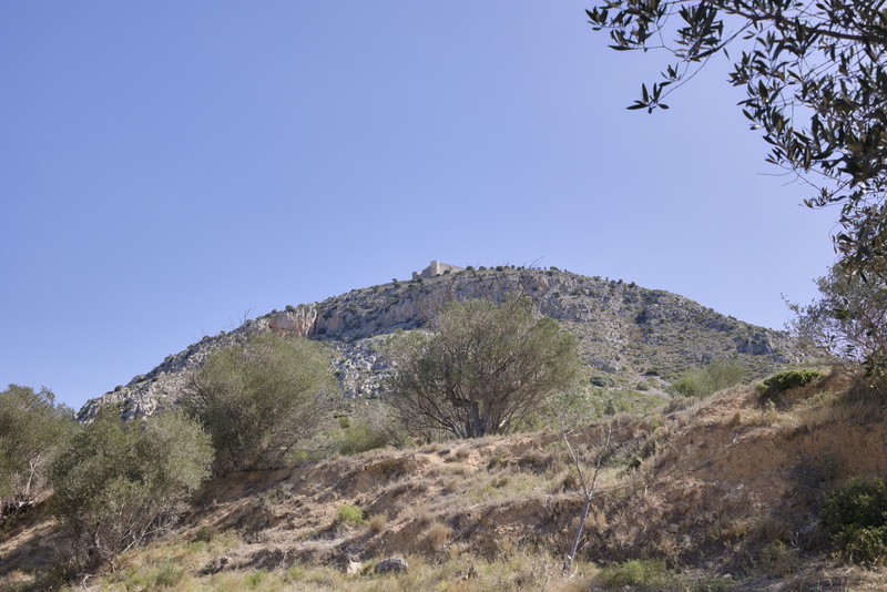
In fact it gets so rough at one point that we wonder if we've somehow gone off course.
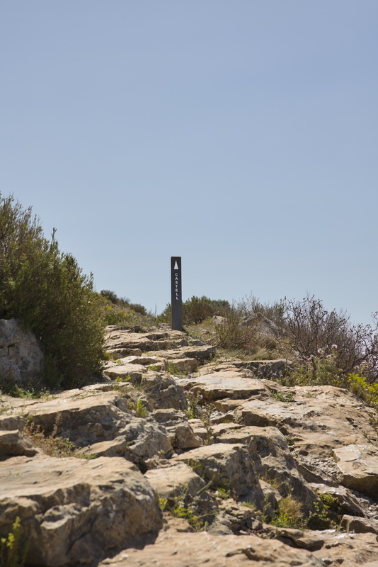
But no! We're nearly there.
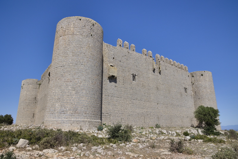
Here we are.
An information plaque tells us that it was built between 1294 and 1301 as a result of conflict between the counts of Empúries and Barcelona. The Count of Barcelona commanded Bernat de Llabià, the governor of the Royal town of Torroella de Montgrí, to supervise the building of a fortress on top of the Montgrí Massif. It was never completed, though the plaque doesn't say why. There's a Wikipedia article, but it is little more than a transcription of the same text.
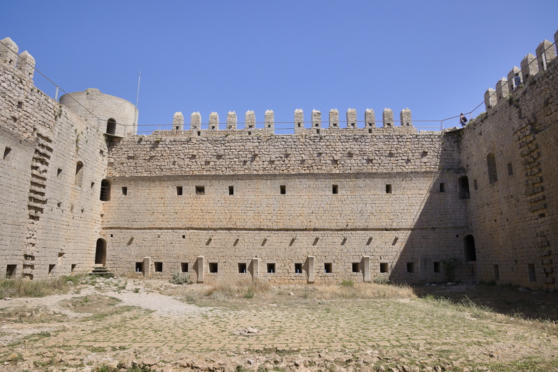
It's not in bad condition, and you can walk the ramparts.
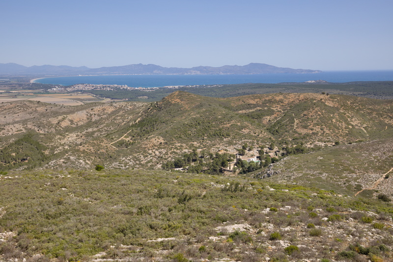
Quite a view!
Oh yes, it's still windy.
Now in the view picture, if you look carefully, you can see a church or chapel of some sort. It's the Hermitage of St Catherine - Ermita de Sta Caterina as marked on the sign at the beginning. "Let's go have a look at it", says Amanda. Hmm... I'm not so sure it's that easy. I'm looking at my GPS map and can't really see a good route, and though we are supposedly on the GR92, an officially waymarked walking route, it looks even rougher on the far side than it did coming up.
But Amanda has decided she's going, so that's that! I'd better follow her.
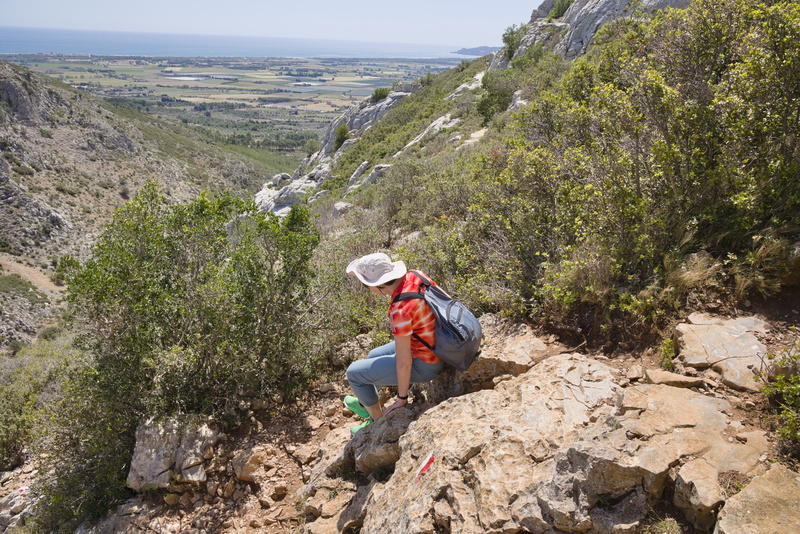
Yes, definitely even less of a path. But just because this is looking more and more like a foolish idea is no reason to stop. And note the waymark: we're not lost, this is really it.
But in the end, this is as close as we get. The GR92 itself passes well away from the hermitage and we need to take another path that crosses it. This soon becomes almost completely impassible and Amanda is finally persuaded (not least by her knee) that continuing is not in her own best interests.
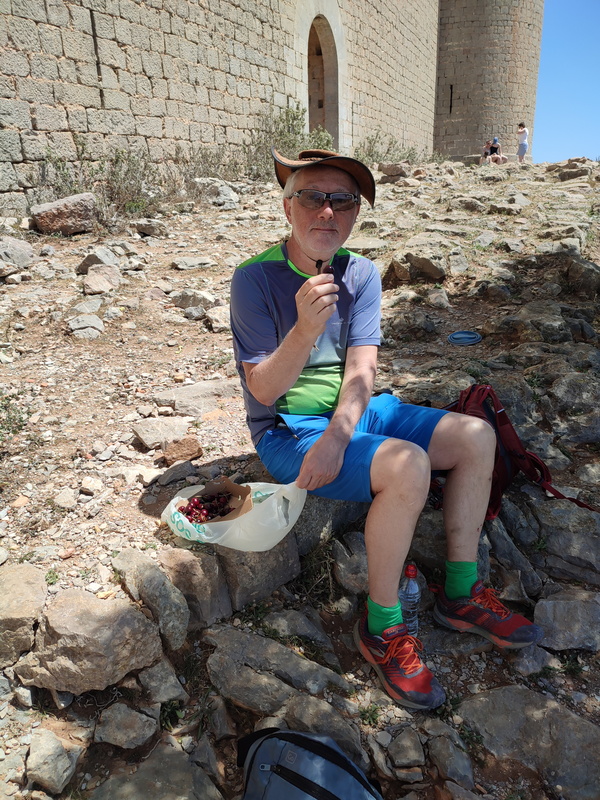
Back at the castle, we have a spot of lunch with a big punnet of cherries.
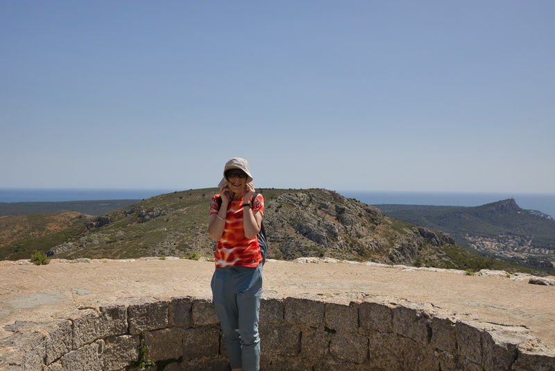
Gosh, my poor old hat is looking terribly sad. It was bought on our first trip to New Zealand in early 2000, and since then it's been pretty much everywhere. I think the time has come for it to be honourably retired.
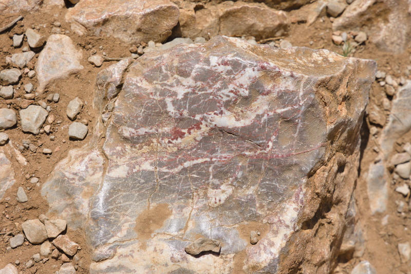
A lot of the rocks have attractive white and red veining. I would tell you about the local geology except that I can't seem to find out much. The Montgrí Massif is a limestone formation and that's about it.
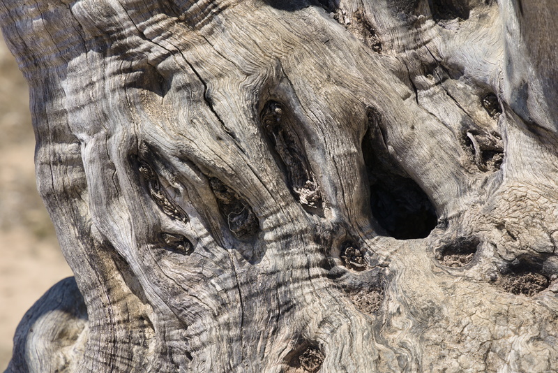
I'm quite taken by this old tree.
Back down again, what shall we do now? Well, we could see the sea from the castle, and it looks like there's a nice via verde route to it, so back on the bikes we get.
The sun is warm but the wind still blows!
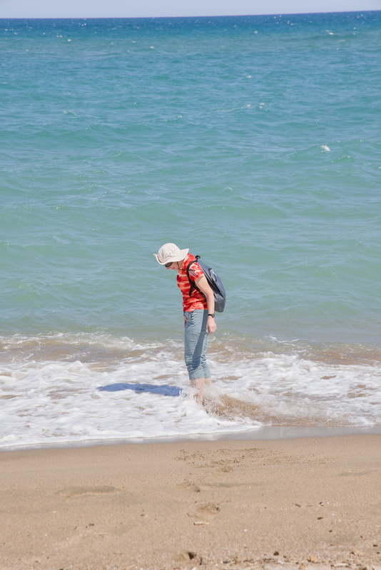
The beach, and Amanda has a little paddle in the sea.
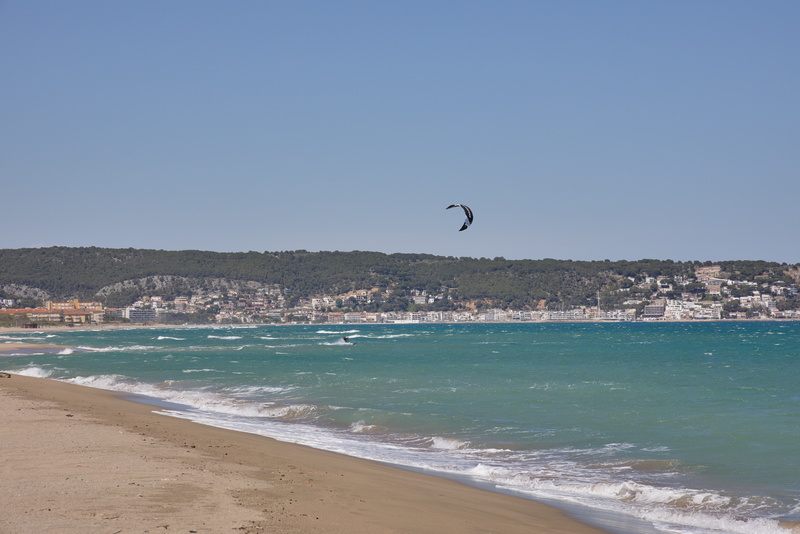
There's a kite skier taking advantage of the wind.
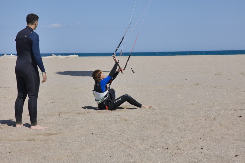
And a young learner is struggling!
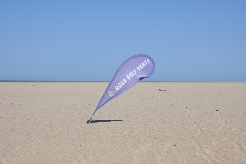
This place is not misnamed.
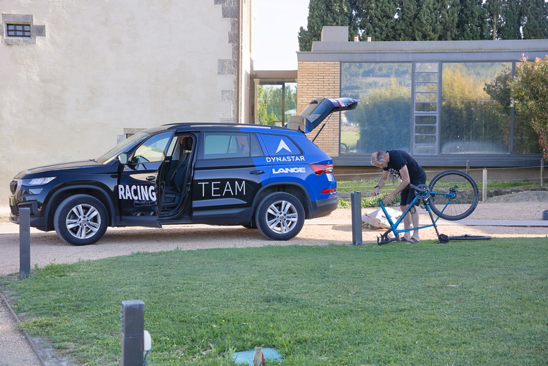
Back at the hotel, we finally see some indication that we are not the only cyclists for miles around.
After last night's unexciting meal in the restaurant, we've bought some provisions in town and we'll have a picnic in our room. We don't really fancy the faff of going out to eat when there's nothing in walking distance.
⬅ previous ⬆intro next ➡